The Rhine Vineyard Hike
Or what I like to call it, “when Carlos tricked me into hiking 13 kilometers (8 miles), mostly uphill.”
More on that later.
The Rhine Valley is beautiful and known for its romantic boat cruises.
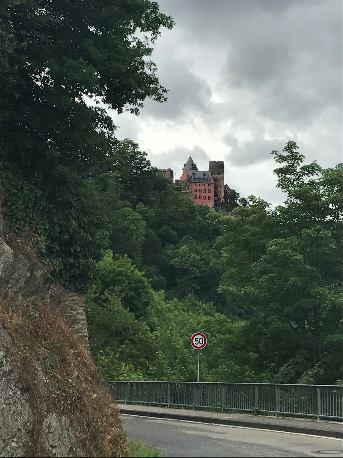
The Rhine river was an important transportation river for trade and whatnot. Seeing the opportunity, many set up castles and villages along the river to “tax” the boats that would pass by. It all seemed a little robber-baron/extortion like; but with out that happening, none of these cute little villages would have been formed around the castles.
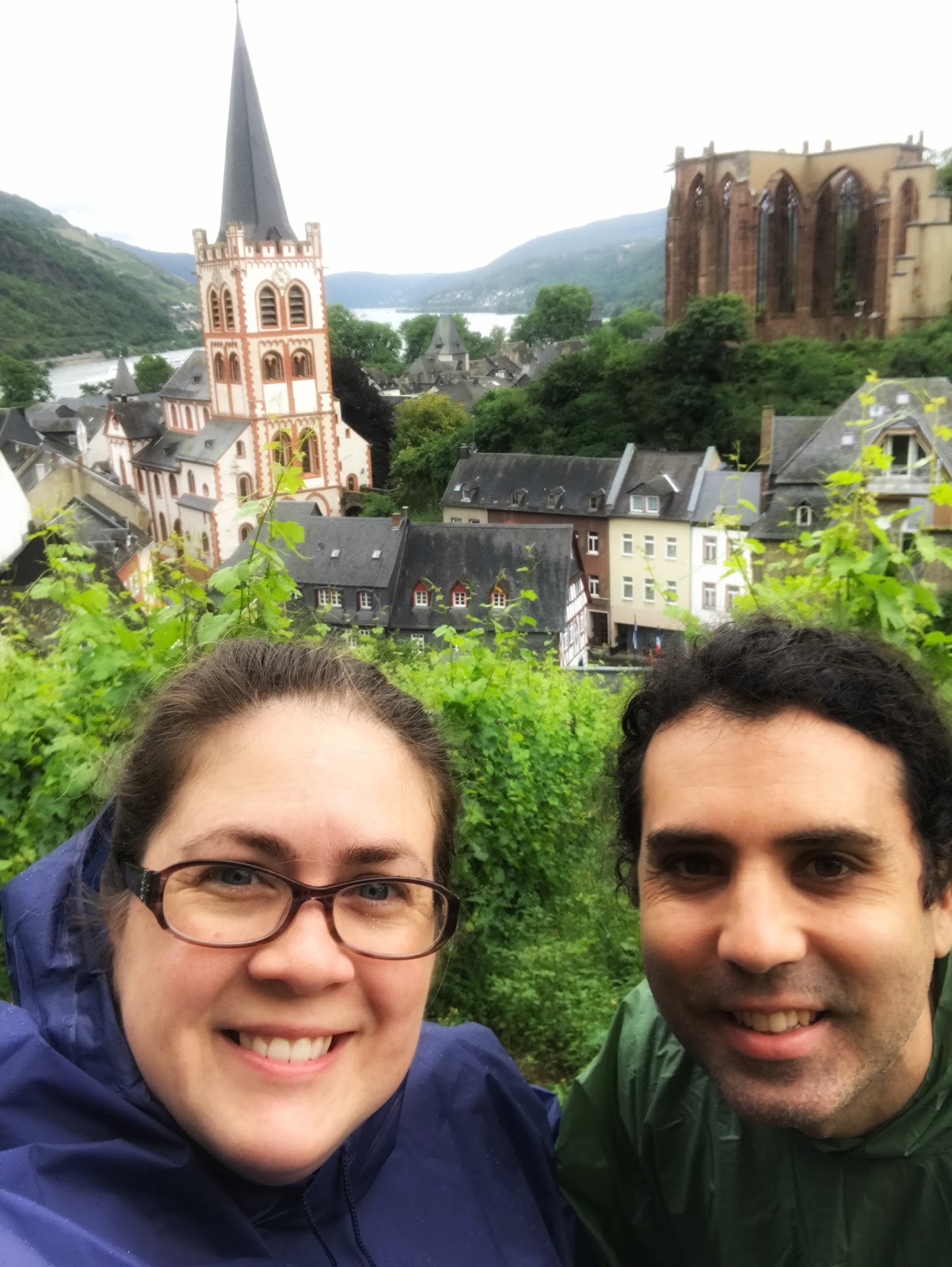
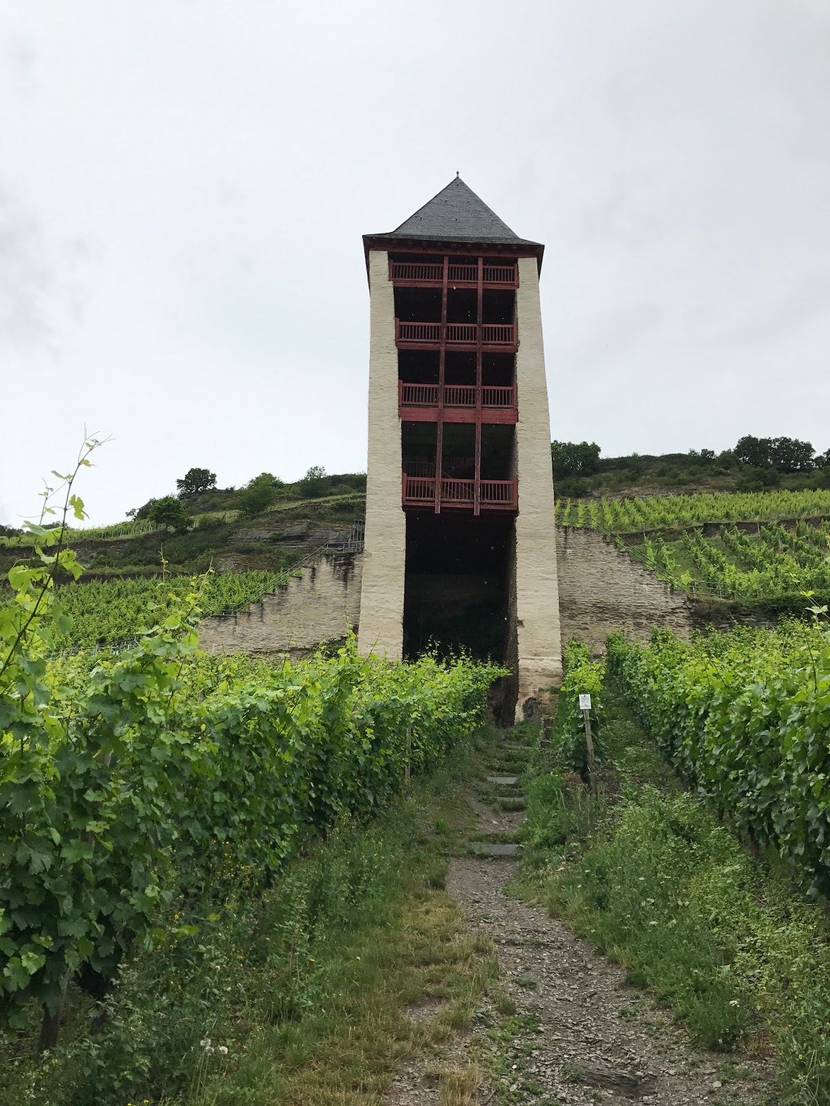
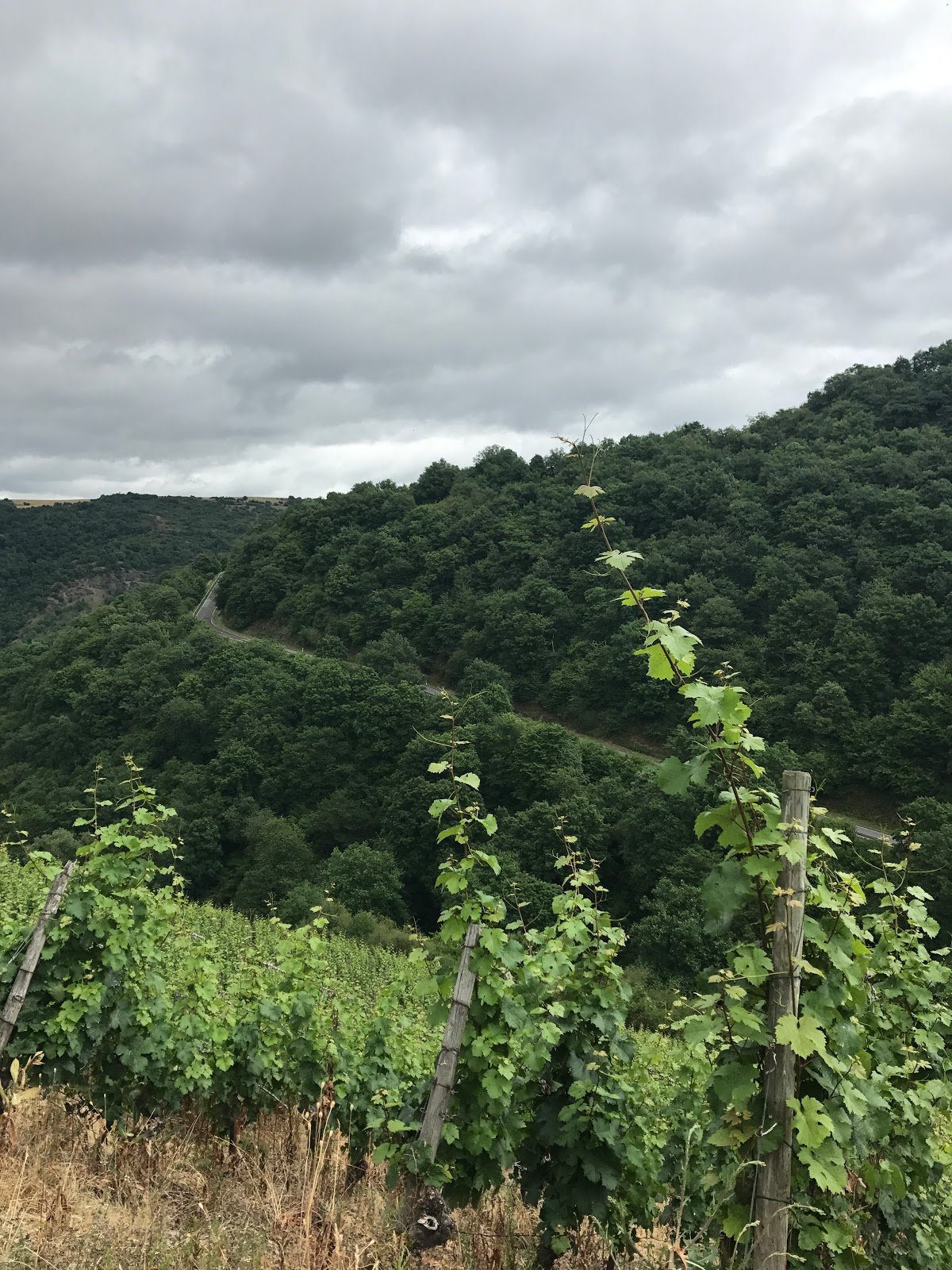
Also prominent in the area is vineyards on steep hills. The grapes are used to make the village wines. We decided to dedicate some time to hiking through the vineyards. The forecast for the day was overcast and rainy. We decided to grab our ponchos and go for it.
Preparing for the hike was kind of hard. The maps we saw at the city center weren’t too helpful.
 |
| Map example |
Most pick a town and do the circular trails from the town. But we wanted to take a trail from town to town and no maps really mapped that out clearly. We decided to google map it out before we left and determine that the next closest village was 4 km away and determined it was a good distance for me. We also dipped into the tourist office before we left to get some not so helpful maps. Finally we stopped at the grocery store for snacks and water. Due to the expected rain I decided to leave my DSLR back at the hotel.
 |
| Not really helpful |
We had a hard time finding the start of the trail because there was construction going on around the trail head and an odd donkey path sign. We finally found what we were looking for and started up the stone stairs. We ended up going down the path of the trail that is basically part of the town loop to get to where we wanted to go. We could have started left, the slow glide uphill or right, stairs after stairs after stairs. We started right of course. Not on purpose, at least on my part. At least it gave us a great view of the town from this lookout point.


4 km into the hike, close to the next town, we realized the town we were heading to was not on the train route. If we walked to this town then we would have no idea how we would get back to ours (other than walking back the way we came).
At some point we decided the only way was forward to the next town on the train route – 8 more km away. All while following the handy red wine trail signs and random chicken signs. I also thought I heard dub-step off in the distance. Skip the hike for mid day dance party? I never did really determine where the music was coming from so we just moved on.


It was lonely since not many others took this trail. And we did have some rain. But the light mist was welcome since it wasn’t enough to make things muddy and kept us cool along the way.
The views were beautiful


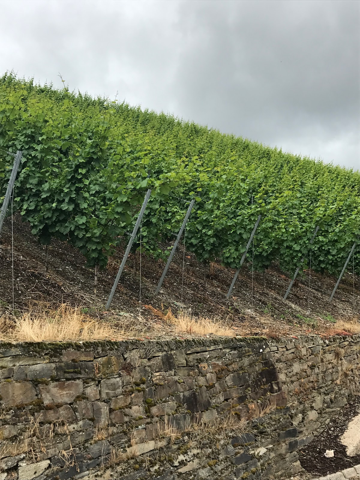 |
| Pretty steep vineyards. I later find out they have a machine to help with this. |
At some point my bladder wasn’t waiting anymore. There wasn’t much area to go “in the bushes” but no one else is around so I went to some brush. The only time we saw some serious hikers (only 3) it was only minutes after I had my bathroom visit. Whew close call!
So basically the up and down and pure distance of it all was more challenging than I was prepared for. I took many breaks and pushed through but times like in the picture below made me upset that we had to keep going down the mountain just to climb back up. The views were really amazing and I am sure I would have been singing a different tune if I was in better shape.
 |
| See that road across the way, we just went down it |
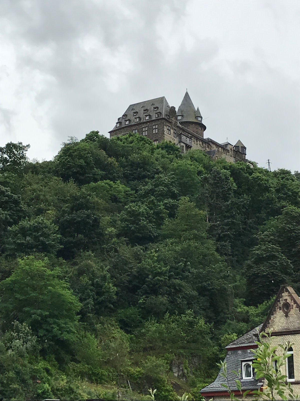
Just when I thought I could go no more we reached the road that went down into the town Oberwesel. We walked by a couple where the woman was having a meltdown. Did her husband take her on a 12 km hike and her legs gave out? Who knows, I am just surprised it wasn’t me. I am known to have a meltdown or two when I am exhausted. This time I was good, tired, but good. We almost got tricked to hiking longer when we saw trail signs pointing uphill toward a castle. I send my husband to check it out and indeed it was trickery, the trail took us away from the town we were heading.
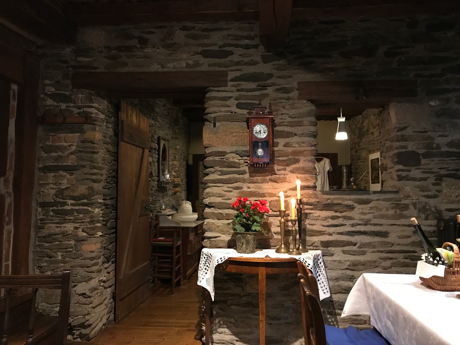
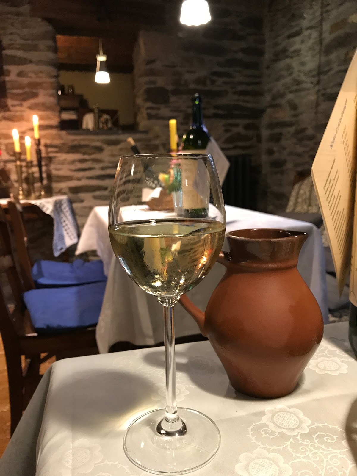
When in town we wandered around a bit aimlessly looking for a place to get a meal since we couldn’t handle any more walking around for a little while. After some back and forth we settled on a nice meal at the highly rated Historische Weinwirtschaft. It is located in the oldest half-timbered house of Oberwesel. The decor was very old world romantic. I definitely recommend it for a nicer meal if you are in town.
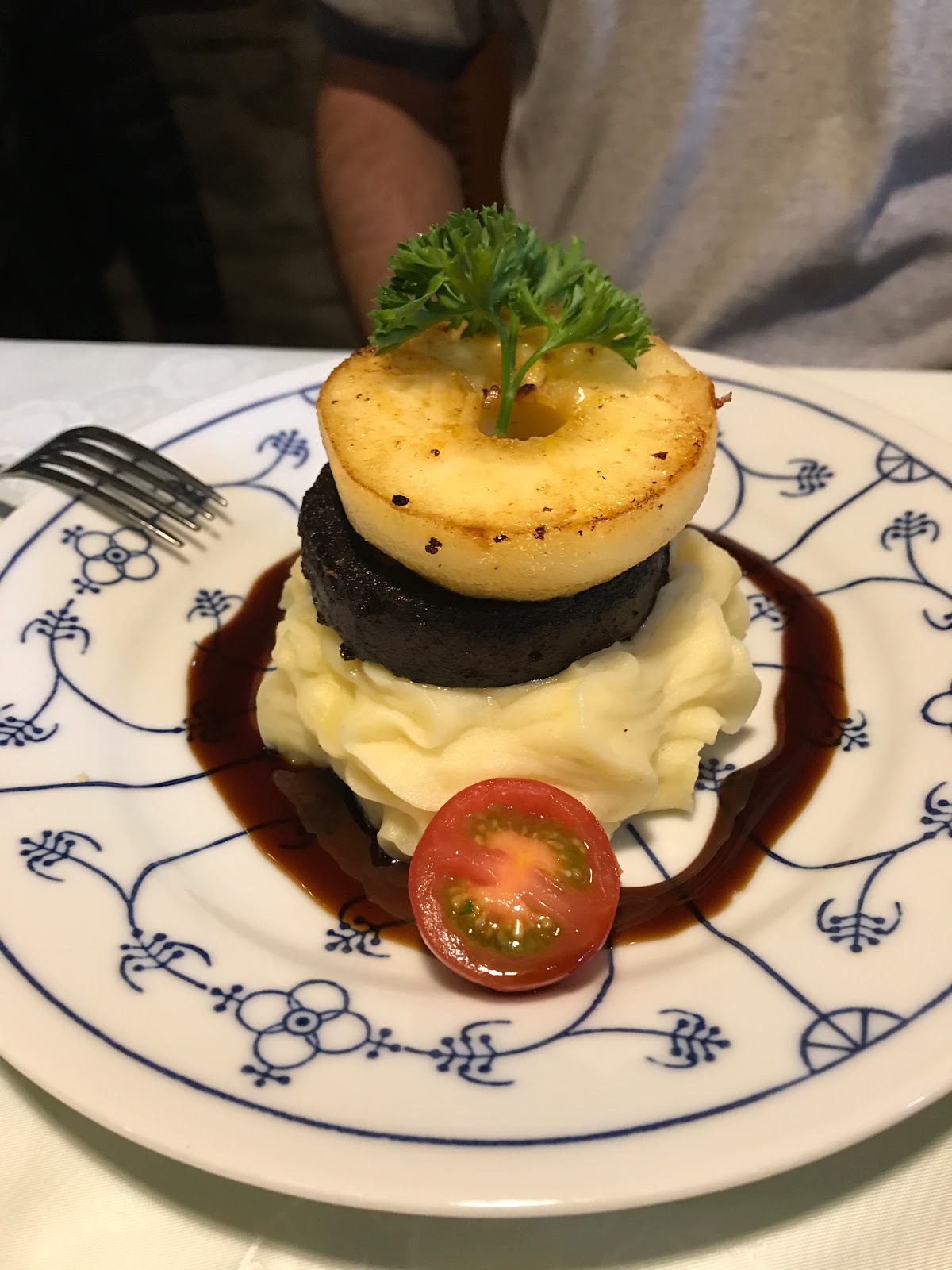 |
| Fried blood sausage and apple slice on mashed potatoes |
 |
| Pork loin in chanterelle cream sauce and spaetzle |
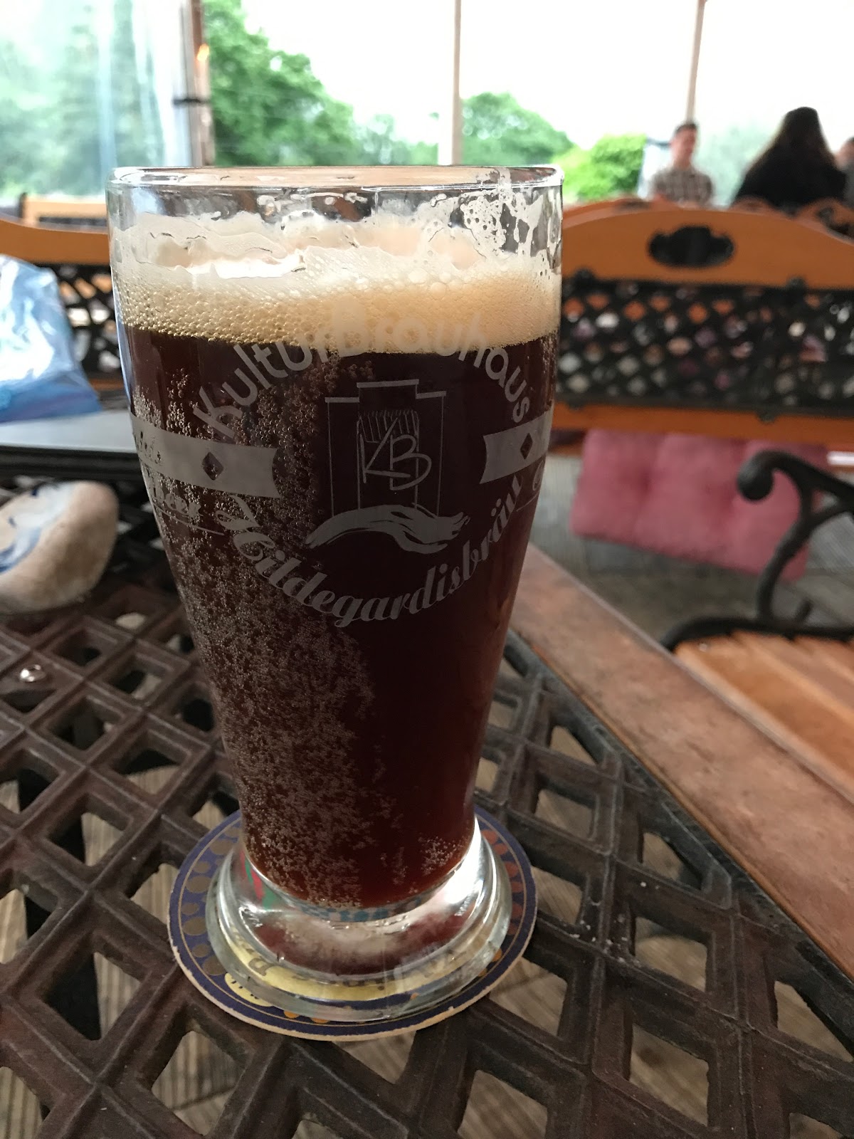
After our meal (and wine) we stumbled back to the train station and took the short train ride back to our town. One would have thought we would just go back to the room and call it a day but it was still totally daylight out. The long days of Germany (5 am sun rise and 10 pm sunset) definitely threw us off. We decided to have a beer at the local Brauhaus. Kleines Brauhaus is a beer garden in an old carousel. We had just enough energy to try one or two of their beers then go back to the hotel to pass out.


 |
| Creepy mannequins in the lobby of the attached theater. You had to pass by these guys for the bathroom. |
Links of Interest
In German all the wine routes:
RheinBurgenWeg Touren
The hike we ended up doing:
https://www.outdooractive.com/en/long-distance-hiking/romantic-rhine/rheinburgenweg-11.-etappe-oberwesel–bacharach-nord-sued-/2807779/
Overview of the region

